 This page is part of the companion website to my book Toronto: Transformations in a City and its Region, published by UPenn Press.
This particular web entry elaborates the material in the second part of Chapter 6 in the book. Because I have used a lot of images I have displayed them in galleries rather than incorporating them into the text. They should all enlarge if you click on them.
Old Centres in the Outer Suburbs
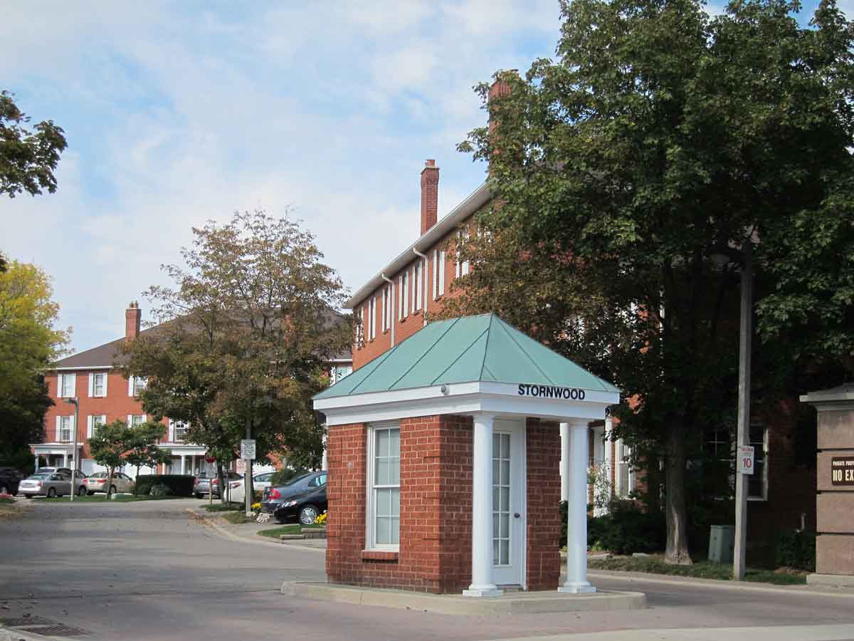
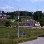
I can identify more than thirty centres in the outer suburbs, places that act as clear focal points in the parts of the continuously built-up area of Toronto that have been developed since 1970. These vary considerably in size and type – some are former villages that have been surrounded by new developments, others are small towns that have become centres for new cities, others are old cities now caught up in the conurbation, a number are newly created downtowns. These lend structure to suburban forms.
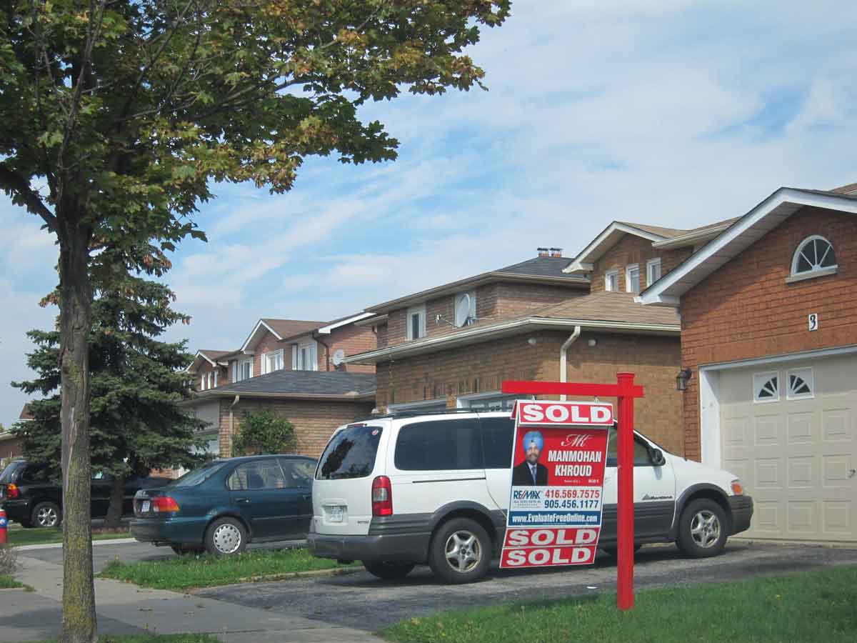
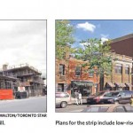
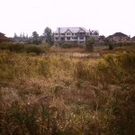
Here are some examples of old centres. Most are being repurposed and experiencing a new lease of life as office buildings, new types of stores, tourist activities and apartment buildings are added. The most notable exception to this is Oshawa, which is heavily dependent on its GM plant, and has never fully recovered from the automation and restructuring of the automobile industry.
-
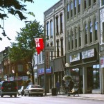
- Main Street of Bowmanville, the centre of Clarington at the eastern end of the Toronto region.
-
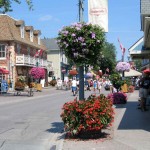
- Unionville in Markham is a local tourist destination with antique stores, galleries and patio restaurants.
-
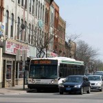
- The destination sign on the bus is for Downtown Whitby
-
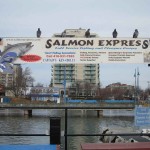
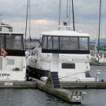
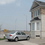
- Port Credit in Mississauga is an former manufacturing town at the mouth of the Credit River, now revitalized both as a small town centre and a marina that promotes sport salmon fishing in Lake Ontario.
-
- An interesting notion of head office in Port Credit. The downtown Toronto skyline is in the background
-
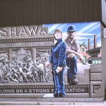
- Oshawa is an old industrial city with a major GM assembly plant and murals celebrating its manufacturing history.
-
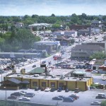
- The edge of downtown Oshawa
-
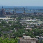
- Hamilton, at the west end of the urban region is an old industrial city based on steel manufacturing. The skyline of downtown Toronto is visible on the horizon
-
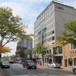
- Queen Street in downtown Brampton has a mixture of old and new buildings.
-
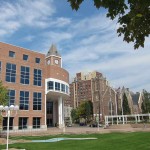
- Brampton City Hall in downtown Brampton, across the street from a century old church.
-
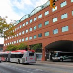
- The bus/train station in downtown Brampton, with a local Zum bus and GO bus. The rail station is immediately behind this building.
• The summary of the downtown development plan for Brampton is at http://www.brampton.ca/en/City-Hall/SWQ-Renewal/Pages/Welcome.aspx
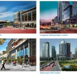
New Centres in the Outer Suburbs
As population spilled beyond the borders of Metro Toronto in the late 60s and early 70s plans were already being made to create new centres or downtowns as foci for new developments. Bramalea, discussed in Chapter 6, was unusual because it was conceived and planned as a a new town. A more common model was the one used for Mississauga and Pickering (also Scarborough in Metro), of combining a shopping mall with civic amenities such as a city hall, recreation centre, library and so on, close to an expressway interchange. I am not sure where the initiative began, but it may have been with the retail developers because the malls were the first major buildings to open. The new centres got a major boost with the local government reorganization in the 1970s that created regional municipalities in the outer suburbs, and the fact that the new upper tier and lower tier municipalities then realized the need for new town halls and city halls.
-
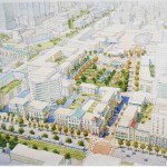
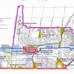
- Concept plan for Pickering centre about 1974 – shopping mall is the triangle top right, and city hall is at the end of the avenue of trees.
-
- Pickering City Hall with stacked townhouses and apartment block in background.
-
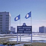
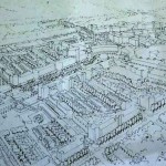
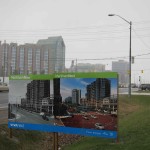
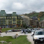
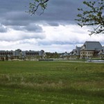
- Miississauga City Centre in 1972
-
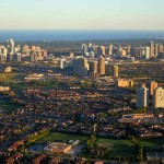
- This 2013 air view shows the binary character of Mississauga centre 2013; Marilyn Monroe towers top left, civic centre in cluster on top right, high rises on Hurontario corridor angle across the photo.
-
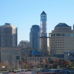
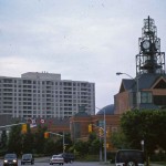
- Mississauga City Centre 2013 – civic centre with clock tower, Sheridan College on the right, condominiums in background
-
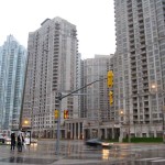
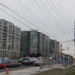
- High rise apartments in Mississauga Centre
-
- Rendering from Mississauga Downtown21 plan shows an urban form more or less the opposite of how it was laid out in 1972
-
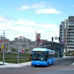
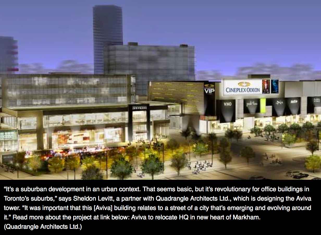
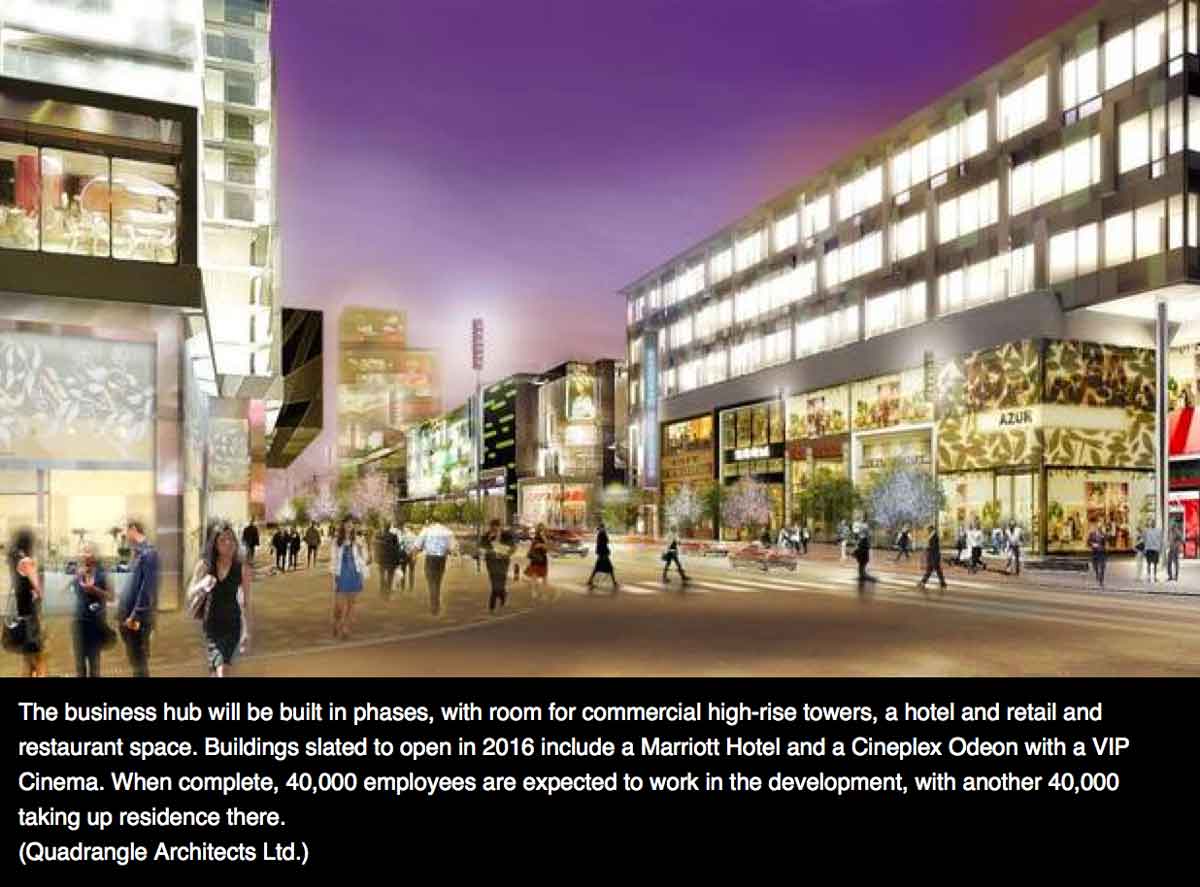
- Markham downtown, under construction 2012., with Viva bus on a dedicated right of way.
-
- Rendering of proposed pedestrian plaza in Markham downtown
• The Markham Centre (or Downtown Markham) development is described at: http://www.markham.ca/ under the tab Business and Development, Markham Centre, in the drop-down menu.
[Update March 2014: A recent article in the Globe and Mail business section here provides these current renderings of Downtown Markham.
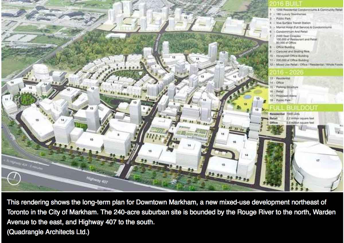
The developers of Downtown Markham have a website at http://www.downtownmarkham.ca/]
• Downtown21: Creating an Urban Place in the Heart of Mississauga, 2011, is accessible at: http://www.mississauga.ca/portal/residents/downtown21
• Plans for the City of Vaughan Metropolitan Centre (not illustrated here, but it will be the terminus for the Spadina Line of the subway) are described at: http://www.vaughantomorrow.ca/OPR/VCC/index.html.
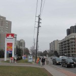
Corridors
The air view of Mississauga above shows part of the corridor of high-rise apartments along the corridor of Hurontario Street that leads through downtown Mississauga. The development of high-density, transit-related corridors linking centres in the outer suburbs is underway in both Peel and York regions. Since many sections of the corridors are currently built up as automobile oriented commercial strips this is a long slow process, best illustrated through plans and renderings, though both Hurontario in Peel and Hwy 7 in York show clear signs of their changing identity. Hwy 7 in particular strikes me as a current version of an old main street, albeit on a much larger scale both in street width and height of buildings.
-
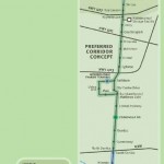
- Centres and corridors plan for Markham, showing locations of several new urbanist communities connected by corridors
-
- Sign showing current and proposed form of Hwy 7 near Warden Ave.
-
- A section of Hwy 7 in Richmond Hill.
-
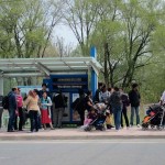
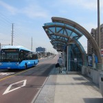
- Viva bus transit stop on Hwy 7.
-
- Renderings of corridors (though the caption calls them “centres”) in Markham
-
- A more modest proposal for intensifying the Yonge Street corridors where it runs through the old centre of Richmond Hill.
-
- Corridor development on Steeles Ave – the City of Toronto on the left, the City of Vaughan on the right.
-
- Proposed LRT corridor linking Brampton Centre, Mississauga Centre and Port Credit in Peel Region.
-
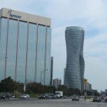
- Development along Hurontario near Mississauga City Centre, showing the Marilyn Monroe towers.
-
- New (2014) Viva bus stop and Rapidway (dedicated bus lanes) at Valleymede in Richmond HIll
-
- Sign on Hwy 7 in April 2014 suggesting its transition to a new type of main street
• The plan for the light-rapid transit intensification corridor Hurontario-Main Street Master Plan LRT Project, 2011, is accessible from the links at: http://lrt-mississauga.brampton.ca/EN/Pages/Welcome.aspx
• Renderings of the imagined future corridors along Viva routes are at Vivanext, 2011 http://www.vivanext.com/. See also York Region, Making it Happen: The York Region Centres + Corridors Study, 2002, pdf accessible at http://www.york.ca/Departments/Planning+and+Development/Long+Range+Planning/Centres+Corridors+and+Subways.htm
• The Thornhill corridor is discussed at http://www.markham.ca/Markham/Departments/Planning/Studies/Studies_ThornYongeSt.htm
The Edge
Between the old and new centres and the corridors of intensification in the outer suburbs are patches of residential subdivision and employment districts. These stop at at what is almost everywhere a very clean edge – often a road – on one side houses or distribution centres, on the other fields and farms. The edge is a temporary urban growth boundary, that is extended in bands as growth pressures demand. This is a practice that has been used since at least the ascendancy of Metro in the 1950s as a way to ensure that development does not push beyond municipal services, and to control leapfrogging.
-
- The clean edge of the conurbation in Brampton. The megagrid of arterial roads is also very clear
-
- The edge of Mississauga at its border with Oakville is defined by Hwy 403
-
- The clean edge of the built-up area has long been a feature of Toronto. This is Steeles Avenue in 1975
-
- The edge of Markham about 1985 at 16th Ave
-
- The edge of Vaughan near Teston Road in 2010
-
- The edge of Markham looking out. The yellow sign says “Caution: Sidewalk Ends”
-
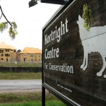
- The Kortright Centre is part of a green corridor in the Humber Valley next to Vellore Village near Rutherford Road
Exurbia
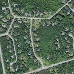
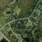
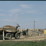
Although the built-up area has a clear edge, the city region extends well beyond it in different ways. The most obvious of these, at least from the air, are exurban low-density residential developments, though these can be hard to see on the ground because they are often screened from main roads. They occupy extensive areas of the Greenbelt which is supposed to be where no future urbanization should occur. But there are other exurban uses – about two hundred golf courses, numerous horse farms, sand and gravel operations (supplying the construction industry that builds both the outer suburbs and new condominiums in the centre of the City of Toronto), even some corporate headquarters, such as the one for Magna Corporation, one of the largest suppliers of automobile parts in the world, on a patch that includes a small gated community, a golf course and a horse farm with a race course.
Exurban Toronto reaches far out into the Greater Golden Horseshoe and includes the four seasons (but especially ski) resort at Blue Mountain on Georgian Bay. A reasonable argument can also be made that the weekend cottage territories of Muskoka and Kawartha Lakes are also now part of the exurban Toronto.
-
- Exurban estate at Ballantrae, screened by trees
-
- Exurban estate near Forks of the Credit
-
- Exurban houses near Stouffville
-
- Blue Mountain Village, near Collingwood in the northern part of the Greater Golden Horseshoe, is a four season resort within a day-trip distance of Toronto
-
- A monster exurban house with five car garage
-
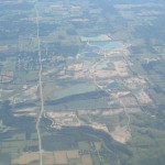
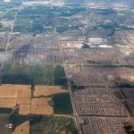
- Gravel pits at Caledon from the air
-
- Gravel pit at Caledon from the ground
-
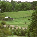
- Horse farm in York Region
-
- The French chateau style headquarters of Magna Corporation in Aurora
-
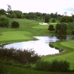
- One of about 200 golf courses in the Toronto region
-
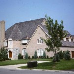
- Houses on two acre lots near Solina in Durham Region.
Issues of the Outer Suburbs
 The outer suburbs are a zone of intense population growth that surrounds the City of Toronto. This map of population growth from Statistics Canada shows growth only between 2001 and 2006 but a map for the period from 1980 to 2010 would have a similar appearance because in that period they have grown between 80,000 and 100,000 people almost every year for a total approaching 3 million.
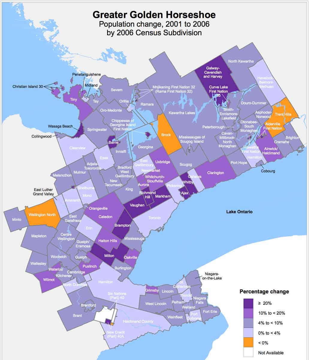
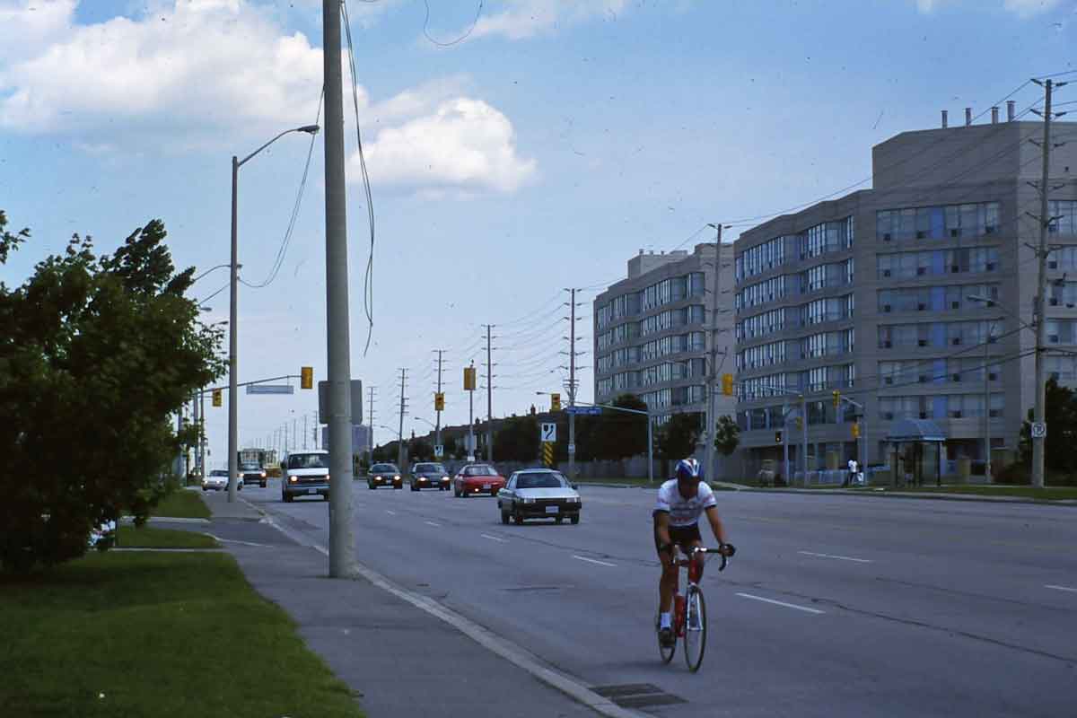
Under that relentless pressure it is not surprising there are deficiencies. They have been criticized as instances of automobile-oriented sprawl by John Sewell (The Shape of the Suburbs: Understanding Toronto’s Sprawl) and Lawrence Solomon (Toronto Sprawls: A History). While, as I have indicated, I do not find the idea of sprawl a useful one, it is the case that many roads are excessively wide, arterials often have reversed lots (houses turned away from them, so they are lined with unfriendly walls). Here’s a cyclist on a six lane arterial in Mississauga, and a lonely pedestrian passing reversed lots in Markham.
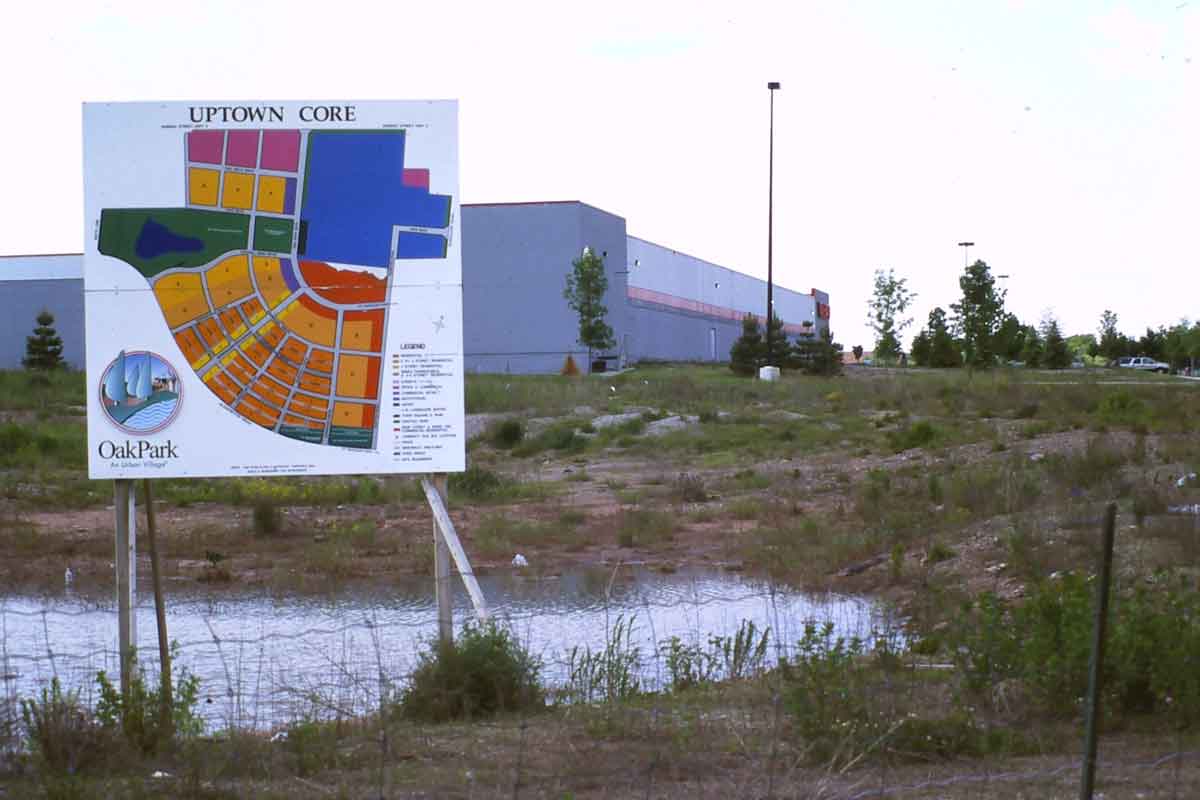
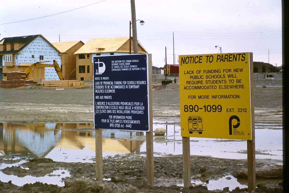
And even best intentions get thwarted by old habits. A WalMart next to the new urbanist development of Oak Park clearly undermines prospects for a retail main street there. And residential development frequently gets ahead of the provision of basic services such as schools.
Nevertheless they have varied centres and downtowns, have been developed with a strong environmental sensibility in protecting watercourses, have complex landscapes, have almost no leapfrogging, are culturally diverse, and have relatively high densities (though not high enough in the minds of critics). Most of the outer suburban municipalities are now planning to find ways to enhance their centres and to increase densities along rapid transit corridors. These are considerable accomplishments.
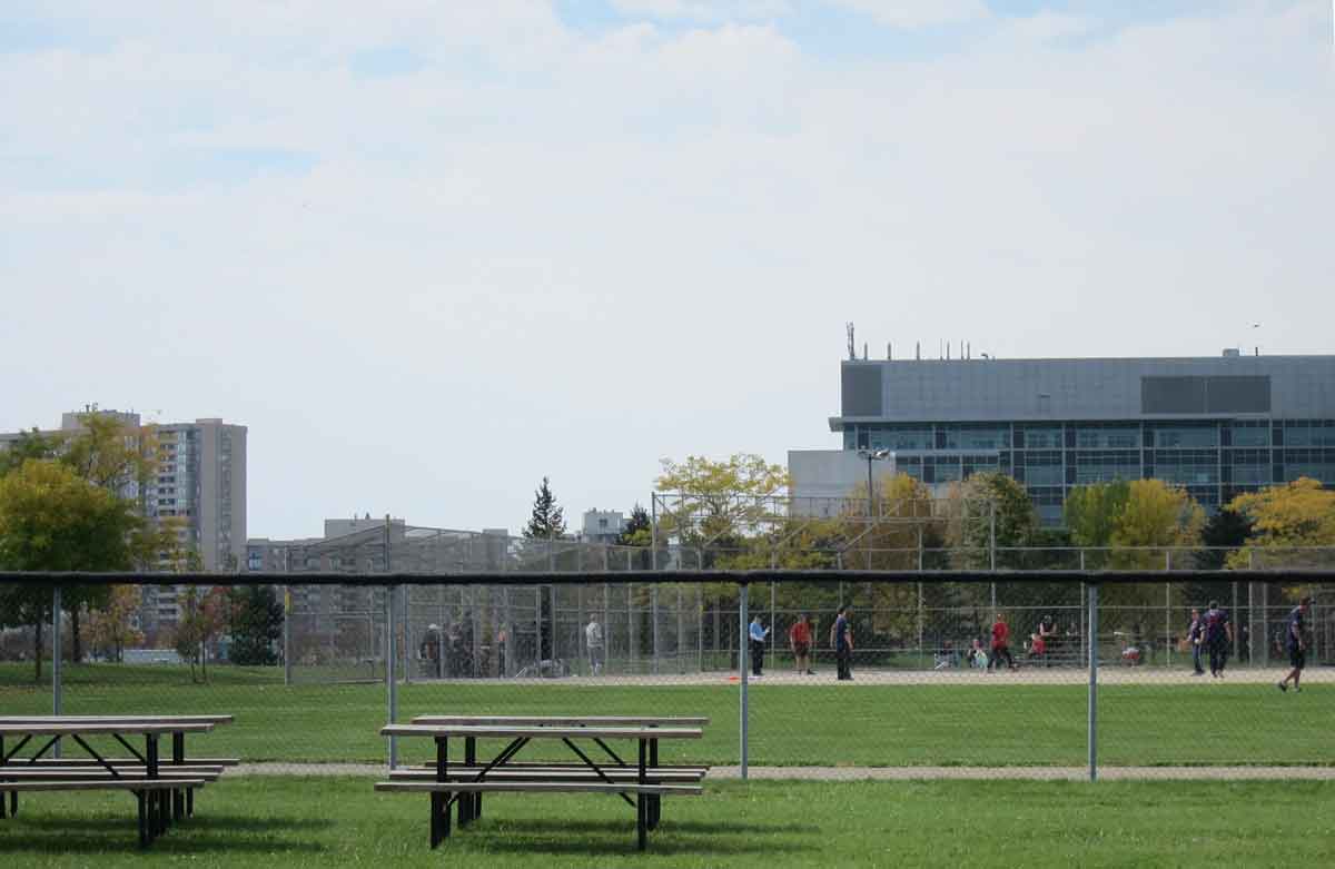
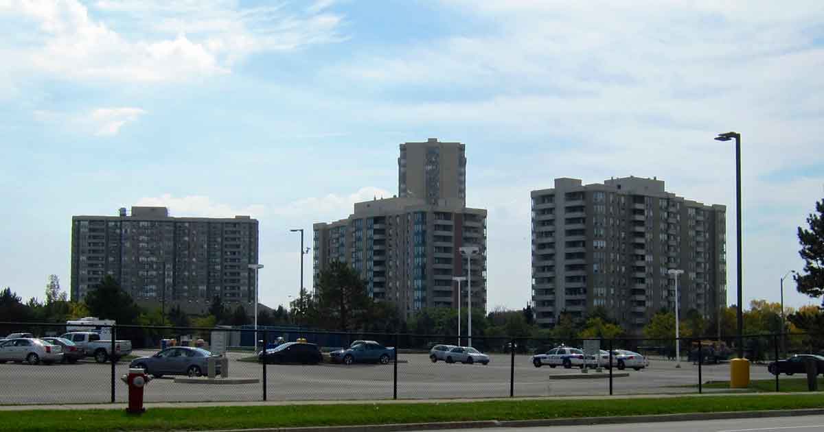
I conclude Chapter 6 with a discussion of conflicting interpretations of an area adjacent to Hurontario Street in Brampton, illustrated by an oblique air photo. Here are some photos of the landscapes of that area which should help to clarify my remarks – a street of relatively modest houses, a cluster of townhouses (not gated – this gatehouse is a design feature), some of the apartment buildings, and a game of pick-up baseball on a field adjacent to the Peel County Court House. If you drive through on the arterial of Hurontario Street you would get little sense of this sort of detail and variety.